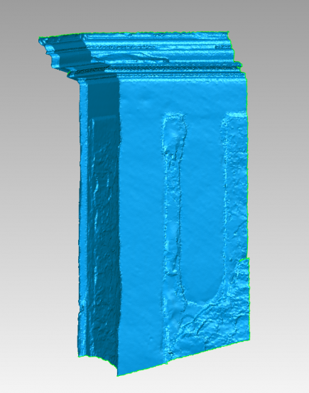
As-Built Survey Using Laser Scanning

Modern surveying using laser scanning can be applied i.a. in the field of building geodesy. The 3D scanning is particularly beneficial when surveying spatially complex historic buildings where the facades and interiors comprise of numerous decorative elements.
Similarly as in the case of a photogrammetric survey the laser scanning minimizes the time spent in the field. Preparation of the documentation takes place on a computer in 2D or 3D environment. The data usually have resolution of 5 × 5 mm, therefore it is possible to prepare both simple and complex documentation with all recognizable details, according to the order requirements.
Advantages of Laser Scanning Surveying
- all object details captured without generalisation
- a model for 3D printing can be created
- no need to enter danger areas thanks to the contactless measurement
- high data acquisition speed (millions of pixels per second)
Digital Output Options and Formats
- photoplans generated from scanned points (PDF)
- 2D drawings (DWG, DGN, PDF)
- 3D wireframe or surface model (DWG, DGN) – cloud vectorization
- 3D surface mesh model (OBJ, WRL, PLY, STL) – areas among directly measured points
