Services
Training
Software
References
About us
Contacts
Login
Previous
Next
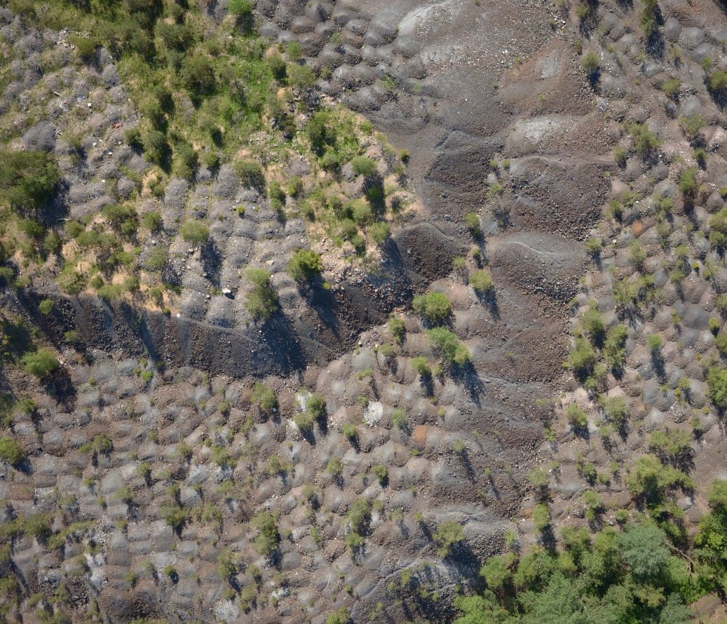
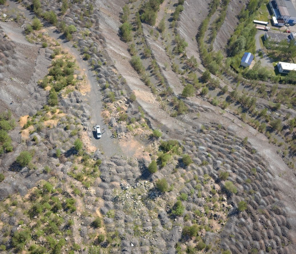
Photogrammetric survey of a mound from the shaft, including volume calculation
Implementation: June 2016
Unmanned aerial photography taken from ca 100 meters above the surface; GNSS survey.
Creation of a point cloud placed in a coordinate system; digital surface model and digital terrain model.
Volume calculation of the mound.
Digital Terrain / Surface Models (DTM / DSM)
Volume Calculation
Previous
reference
Next
reference
Want to know the details? Do you need advice? Contact us!
Name:
Phone number:
E-mail
*
Your message
*
Fill in the fields marked
*
is obligatory.